Create custom maps instantly to boost your video engagement

Trusted by teams at
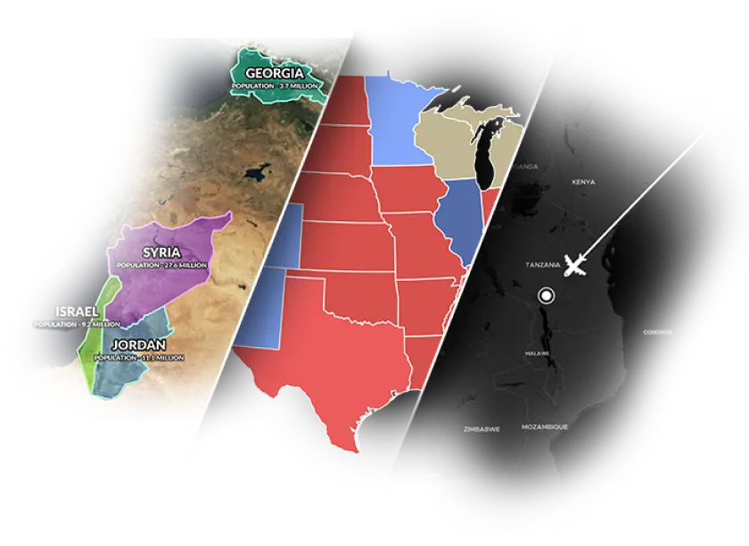
Give geographical context to your videos
Popular YouTube channels like Real Life Lore use custom maps to captivate viewers. With just a few words, you can effortlessly create your own engaging maps.
How it works
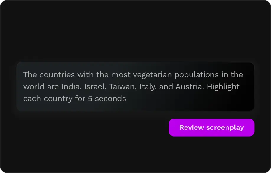
Input prompt
Write a text prompt specifying locations and scenarios for your map.
Input prompt
Write a text prompt specifying locations and scenarios for your map.
Review screenplay
Review the screenplay for your map video.
Customise your Map
Edit locations, region fill, borders, markers, animations, and more.
Data integration
Add your own data or fetch data from Statista for Choropleth maps.
Generate and use
Generate and download your map in 4k resolution.

Transform your text into contextual maps with AI for your video content
Create custom maps from prompts with Rizzle's AI-automated Text to Map feature. With our AI, you can turn simple texts into engaging, custom maps that rival even the top YouTube channels. Our AI, powered by Statista, creates choropleth maps that boost engagement and simplifies complex topics. Highlighting key locations, showcasing routes, or illustrating global trends can be done effortlessly with our text-to-map solution.
Rizzle believes in providing efficient solutions, accurate results, and powerful storytelling, everything tailored to your content. Join leading creators in using custom maps to bring your stories to life.
Features with maps
Map data based on source country

Popular map templates

Edit location and styling

Choropleth maps with Statista data

Try Examples
Global Plastic Consumption Patterns
In 2024, China leads as the largest consumer, followed closely by the United States, while India and Japan play critical roles in shaping regional and global plastic consumption patterns amidst increasing environmental concerns. add a label "China - 37.6Metric tons", "USA - 22.9Metric tons" , "India - 7.4Metric tones", "Japan - 3.8Metric tones". And use different color for all countries. And Highlight with borders.
The Rise of Rice Giants: China and India
In 2022, China surpassed India as the world's largest rice consumer, add a label "China - 29% of the world's total rice production" and add a label "India - 22% of the world's total rice production".
Exploring the Diverse Landscape of India
create india map with region fill and boundary highlight with sublabel as 1000 population
Mali, The Hottest Country
Mali, the hottest country on Earth, has an average annual temperature of 28.83°C / 83.89°F.
Zooming Into India
zoom into india from asia
Test 1
create Telangana Map in India
Asian Countries Highlight Reel
Create a map video by higlighting all the countries in Asia continent.
Zooming Into India from Asia
zoom into india from asia
13 US States Bordering Canada
The 13 states bordering Canada include Alaska, Washington, Idaho, Montana, North Dakota, Minnesota, Michigan, Ohio, Pennsylvania, New York, Vermont, New Hampshire, and Maine.
1. Journey Across India and Neighboring South Asia
map of india and it's neighouring countries
Journey from United States to Japan over the Pacific Ocean
japan is far away from the unites states
Frequently Asked Questions:
For any questions or support, contact our support team at
support@rizzle.com